Phones & Mobile Devices
The experts at CR have curated everything you need to know about mobile tech from phones to fitness trackers, plus buying advice and savvy shopping tips.
Featured

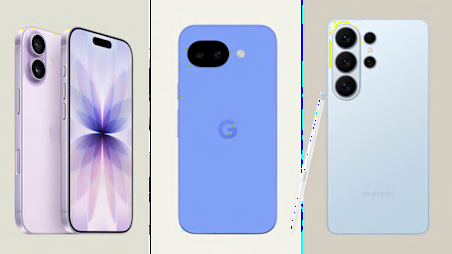
The Best Phone Cases for Your Samsung Galaxy S26, S26+, or S26 Ultra
Smartphones may be sturdier than ever, but a protective case offers peace of mind, plus a canvas for some personality. Here are a few favorites.

7 Best Waterproof Wireless Outdoor Speakers, Tested by Our Fun-Loving Experts

Remittance Apps: What CR Testing Found About Cost, Transparency, and Privacy

Latest


Inside Our Test Labs
CR’s engineers test and rate thousands of products so that you can make great choices, based on data.

