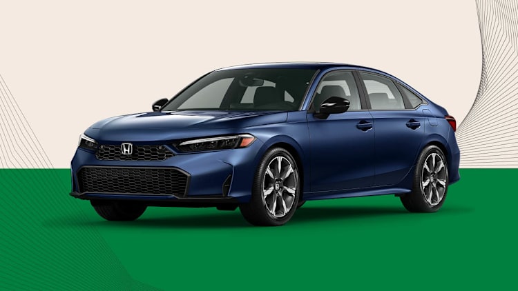
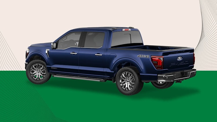
Cars
Consumer Reports’ exclusive test results and survey findings can steer you to the best new and used cars, then help you maintain them.
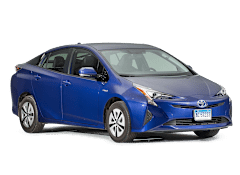
TOP PICKS


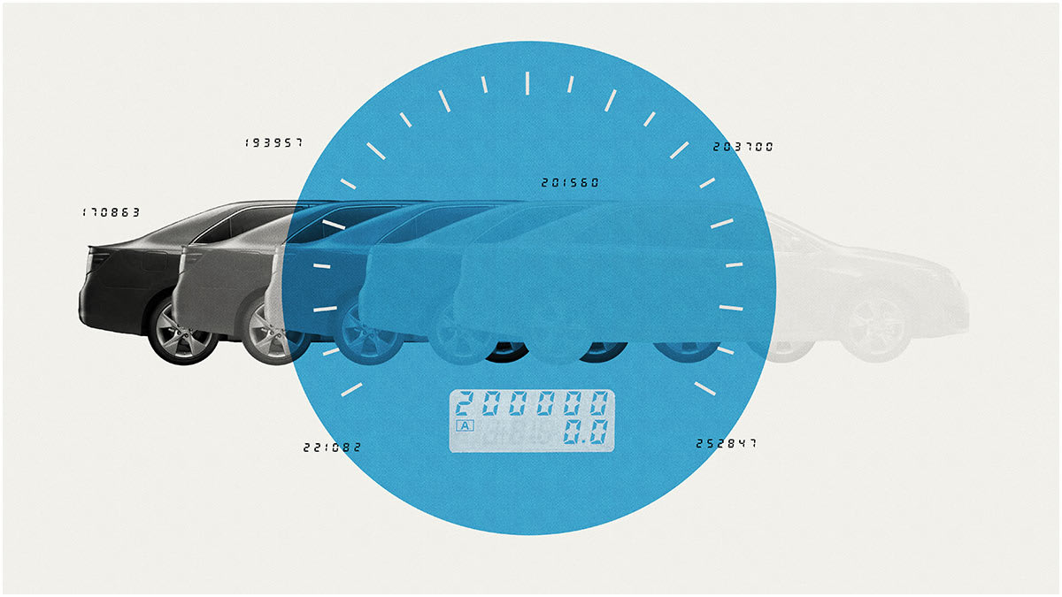
500,000 Miles
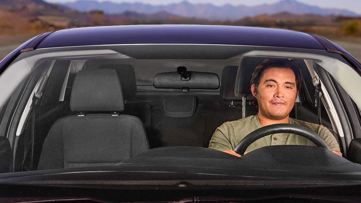
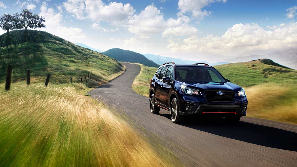
CR tests cars to give unbiased ratings and reviews.


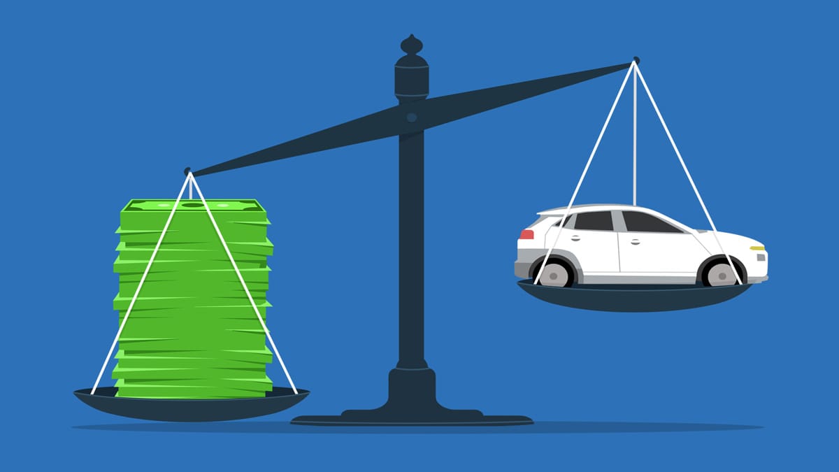
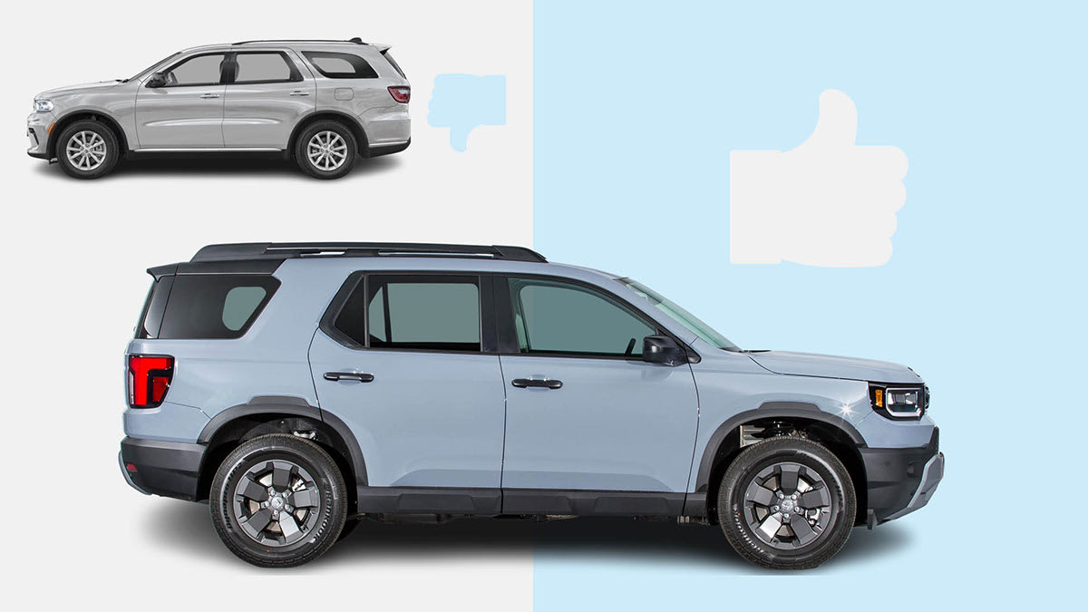
Car Buying & Pricing
Car shopping is exciting, but car buying can be stressful. We help with tough decisions like whether to lease or buy, which new or used car is right for you, and how to find a good deal.
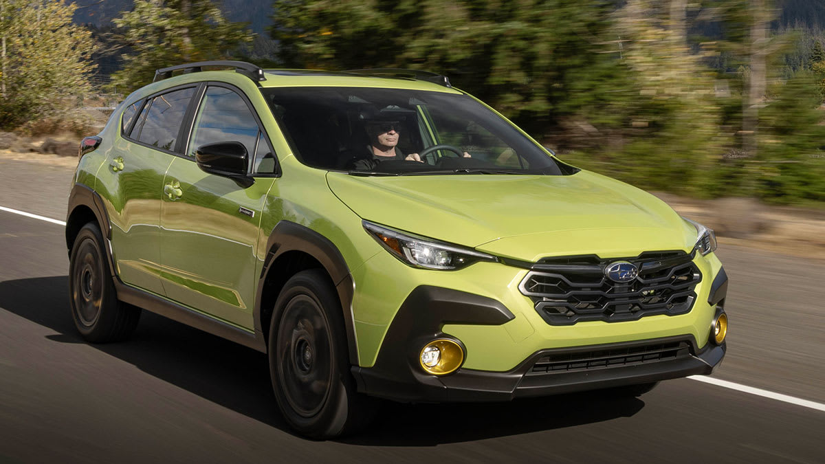

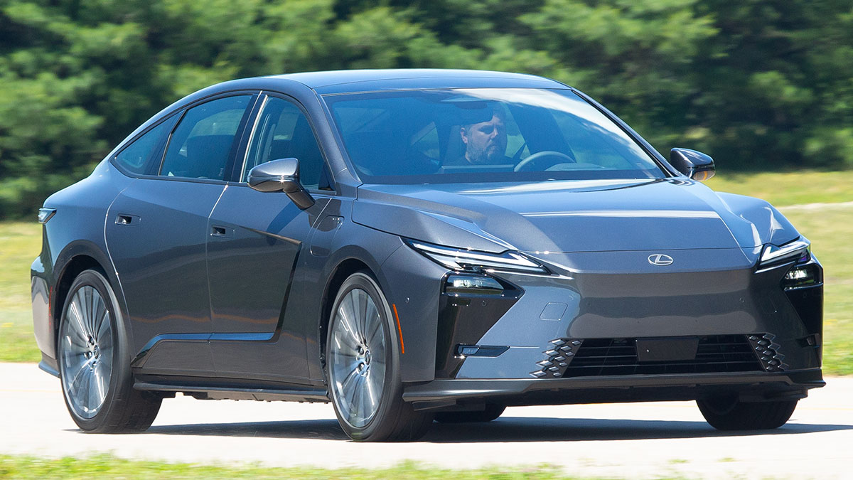
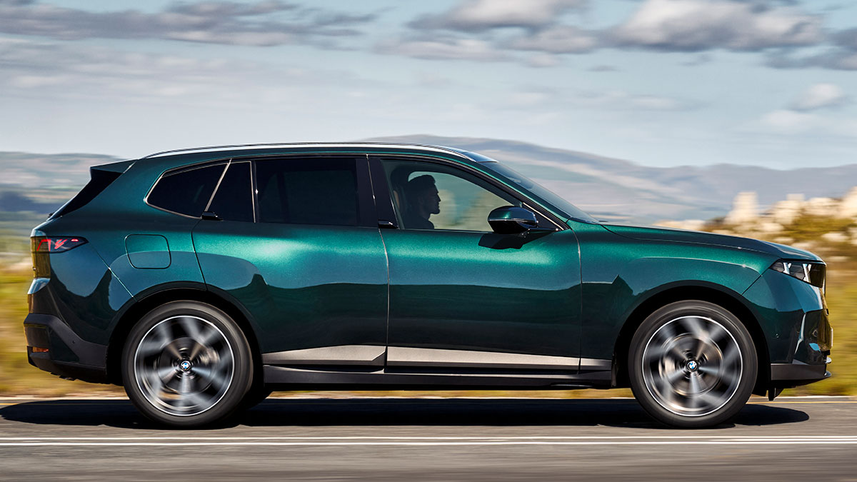
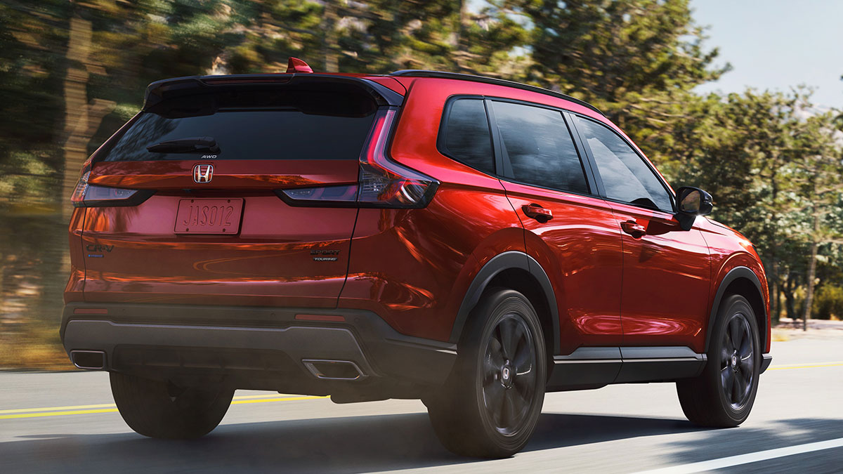
Reviews
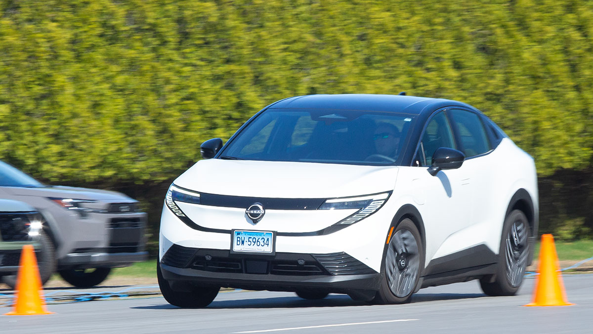
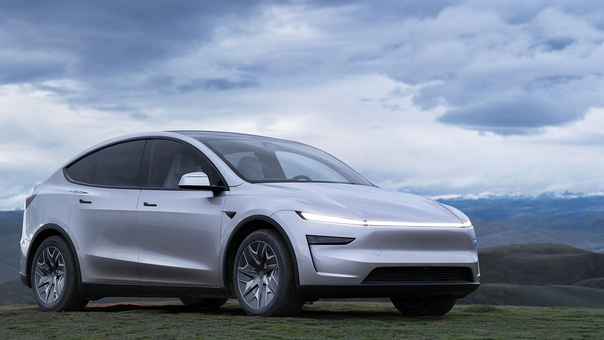
The latest Previews, First Drives, and product tests from CR’s Auto Test Center.

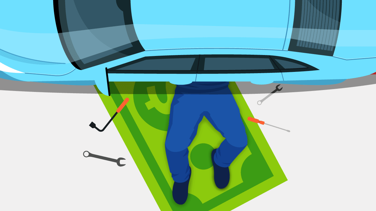
Car Maintenance & Repair
Car care and maintenance is essential for safety and making sure your car goes the extra mile. Our experts can guide you to the best car repair shop, car batteries, tires, and more.
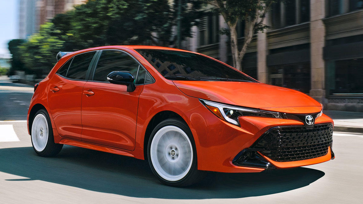
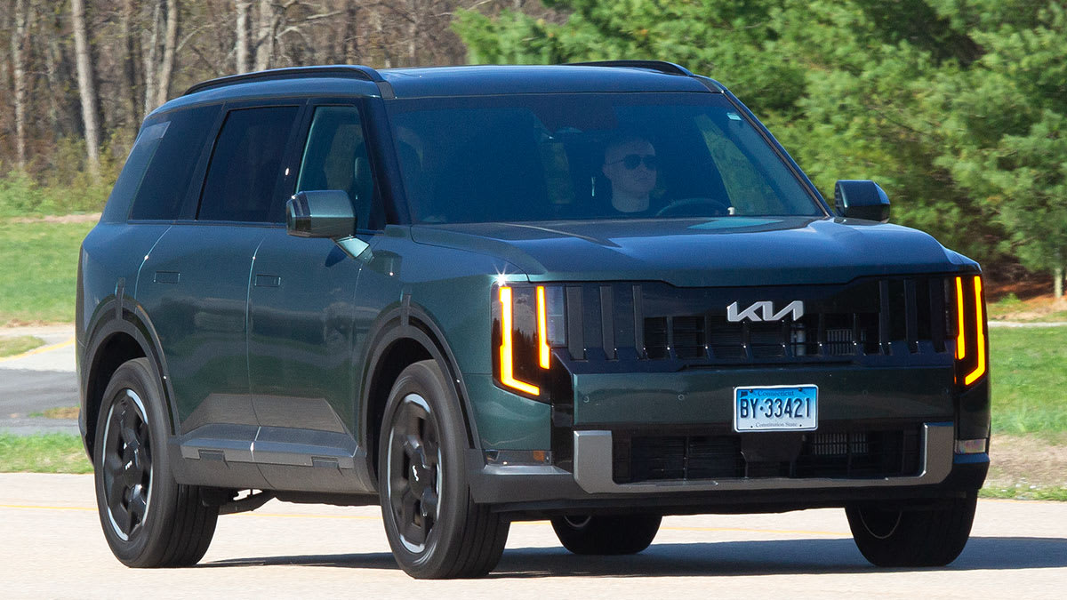
Car News
Check out the latest reports on new cars, car recalls, getting a great deal on a new or used car, tips on driving and car maintenance, and more.


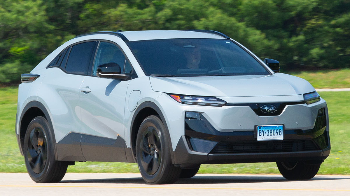
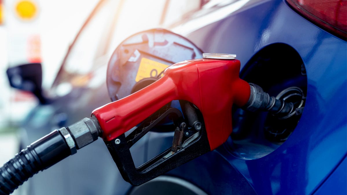
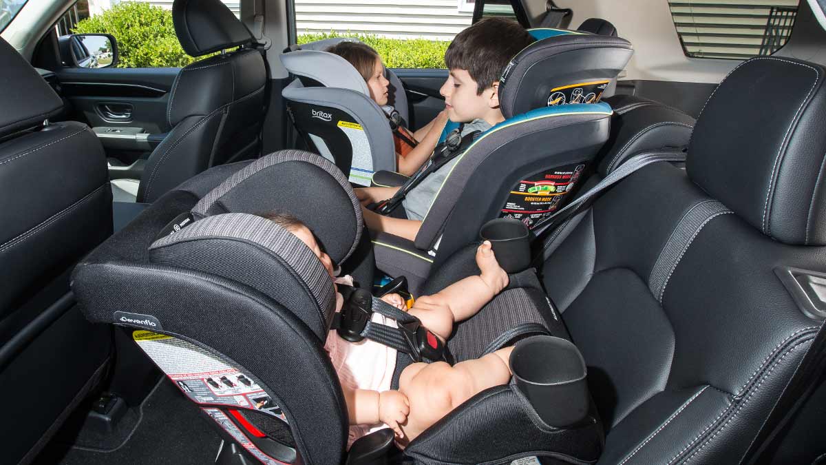
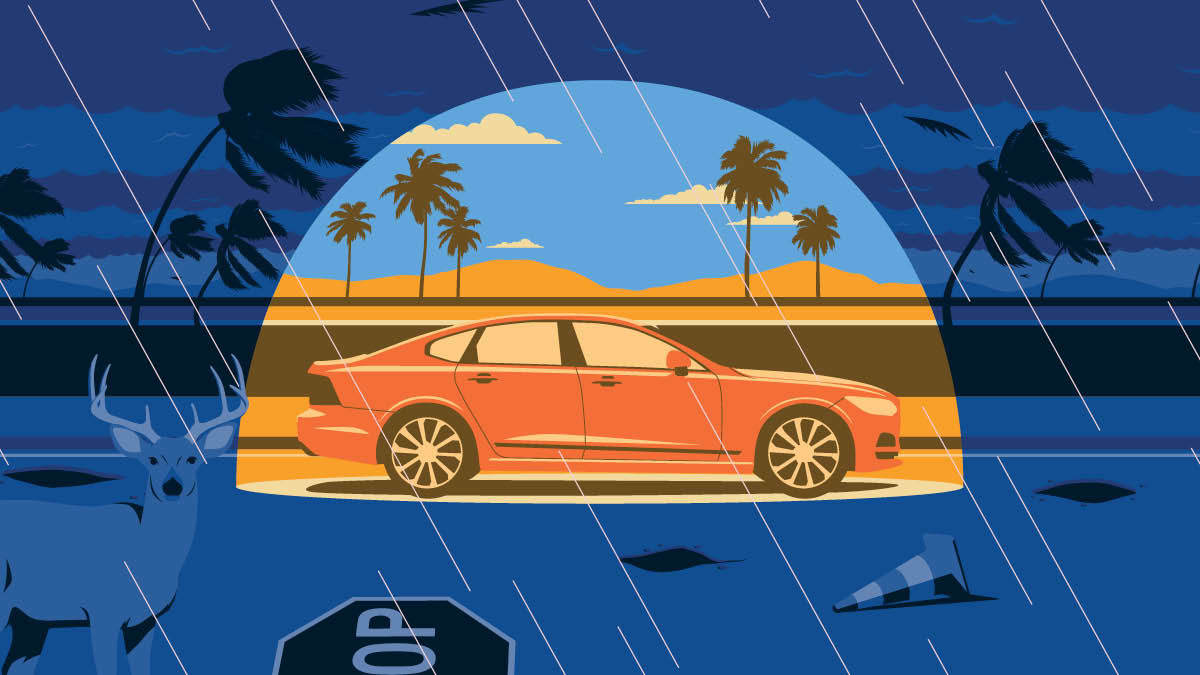
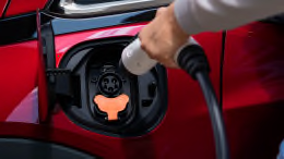
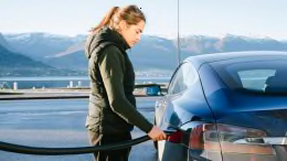
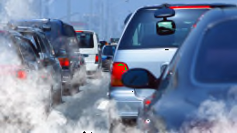
Car Safety & Efficiency
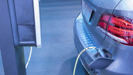
Safety and efficiency are key factors when shopping for a new or used car. Here’s what you need to know about active safety features, the best electric vehicles, and more.
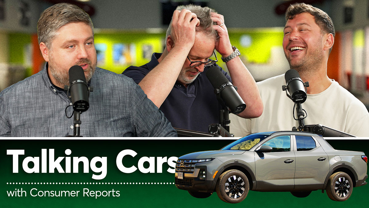
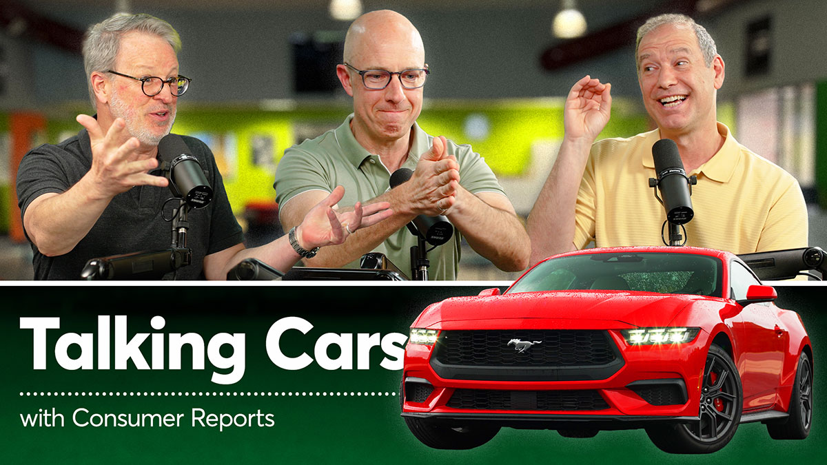
Talking Cars Podcast
On our autos podcast, "Talking Cars," our car experts discuss recent test findings, what’s new in the auto industry, and answer listener questions on a broad range of auto topics.


Car Insurance
Choosing the best car insurance involves comparing claims satisfaction, prices, and the services offered. View our ratings and reviews and browse our buying guide to find the best car insurance.


An independent, nonprofit member organization that works side by side with consumers for truth, transparency, and fairness in the marketplace.

Mission-Driven Nonprofit
Promoting truth, transparency, and fairness

Consumer-Centric
85+ years of advancing consumer interests

Independent
No advertising, sponsorships, or free samples for testing
Learn about free membership benefits & more